India has varied geographical features. With lofty mountains, deserts, mighty rivers and abundant forest resources, India is beautiful with resplendent natural beauty. We’re the largest nation in South Asia, and share our territorial border with seven countries, that are smaller in geographical area as compared to India.
Now, we directly share contiguous border with six countries namely Pakistan, China, Nepal, Bhutan, Myanmar, and Bangladesh, but when India’s claim on PoK (Pakistan occupied Kashmir) is counted in, it makes Afghanistan the seventh country with which we share a non-contiguous border of 106 kms. Our relation with each of our neighbours is different, and hence the border area offers a different sight.
Here we are mentioning India’s border with its 6 neighbours. Let’s begin with our western neighbour Pakistan.
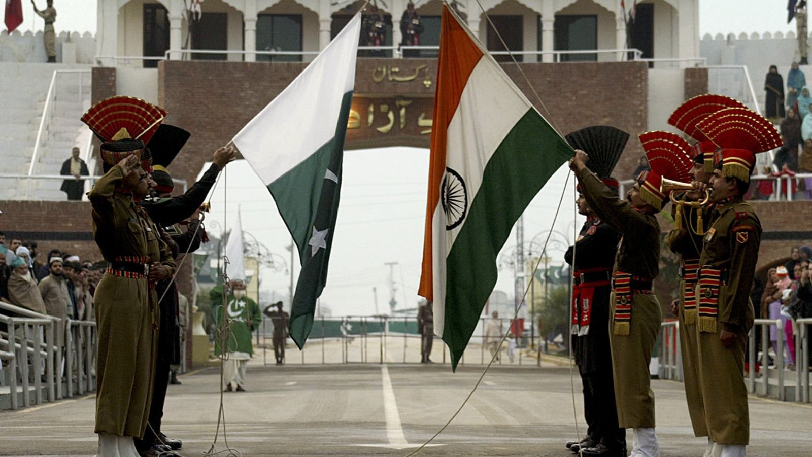
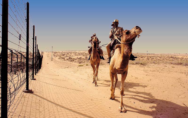
1. India-Pakistan border
The India-Pakistan international border separates 4 provinces of Pakistan from 5 Indian states. The border starts from the Line of Control in Kashmir to Wagah in Punjab. And the border area of Rajasthan and Gujarat, which is also the border of Pakistan’s Sindh province, is called the Zero Point.
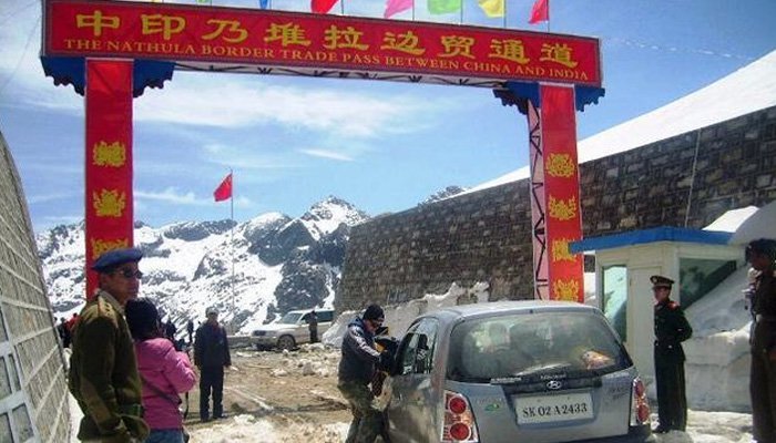
2. India-China border
Officially, it’s the McMahon Line that separates India from China. Since the treaty was signed by the British with Tibet in 1914, the Chinese do not accept its legal status. Nonetheless, this is what the Sino-India border looks like.
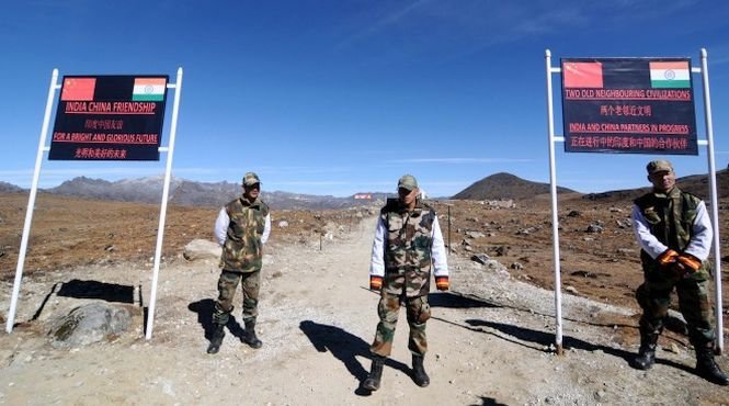
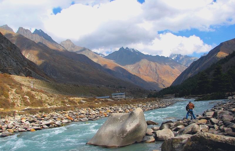
This is Chitkul, a village located in Kinnaur of Himachal Pradesh. It’s the last village on the India-China (Tibet) border.
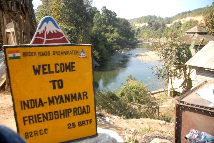
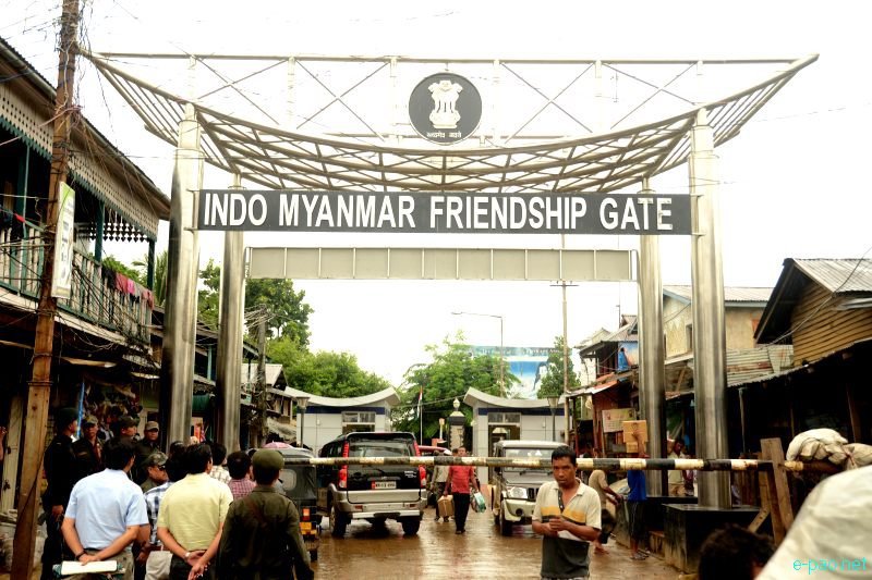
3. India-Myanmar border
An international border of around 1600 kms runs between India and Myanmar along 4 Northeast Indian states, namely Arunachal Pradesh, Nagaland, Mizoram, and Manipur. There are many ethnic communities that live on the border region. And though there are a few issues between the two countries, more or less, we’re good neighbours. Here’s what the border looks like.
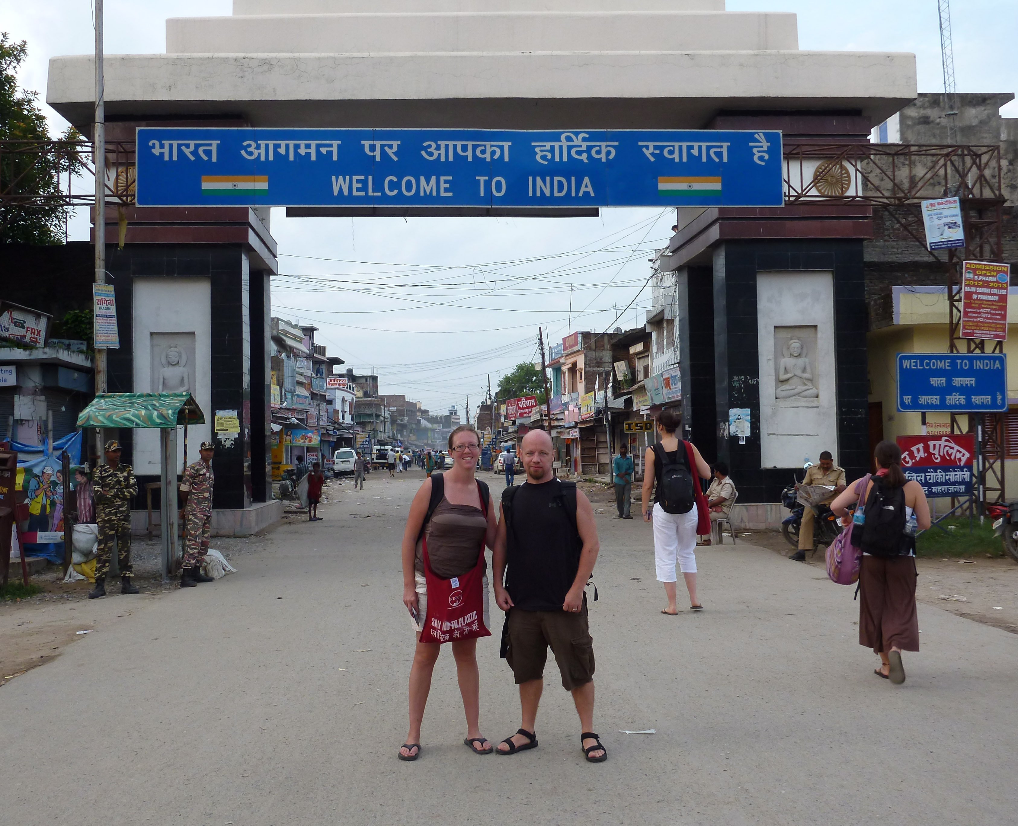
4. India-Nepal border
India and Nepal have friendly relations, so much so that Nepali is listed as one of the official languages in our constitution and our people have strong cultural ties. We don’t even require a Visa to visit this beautiful Himalayan nation, and the same applies to the citizens of Nepal. Here’s how it looks like when you enter India from Nepal.
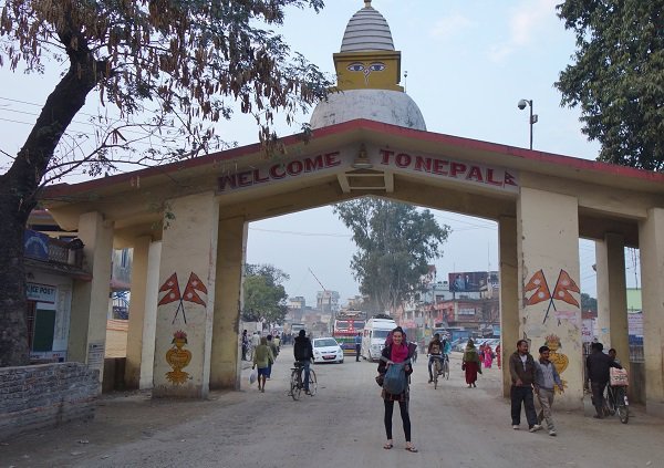
And this is the view from from Nepal’s side.
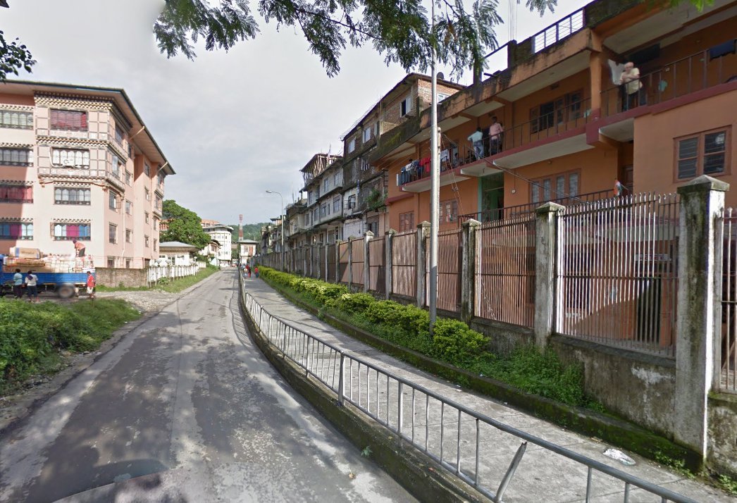
5. India-Bhutan border
An international border of 699 kms runs between India and Bhutan. The small Himalayan nation is known for being one of the most peaceful countries, and we’re traditionally close with the Himalayan kingdom of Bhutan. There’s only one entry point between the two countries, which connects Jaigaon of West Bengal in India and Phuntsholing, in South West Bhutan.
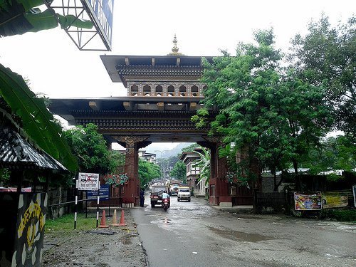
In this photograph, it’s India on the right side of the lane and Bhutan on the left.
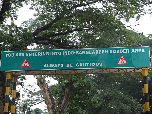
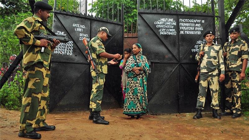
6. India- Bangladesh border
Bangladesh was a part of India before partition, and a lot people migrated to India during the Bangladesh Liberation War. Today, the two countries share the fifth-longest land border in the world, of 4,096 kms. Our border with Bangladesh looks something like this: